UN
18
£ 295,000
Description
We don't have a Description for this property.
- Bedrooms
- 2
- Bathrooms
- 0
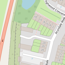
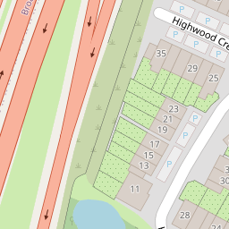
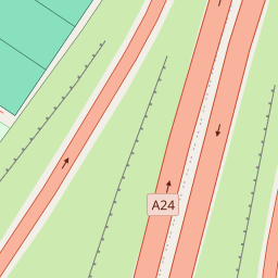
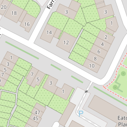
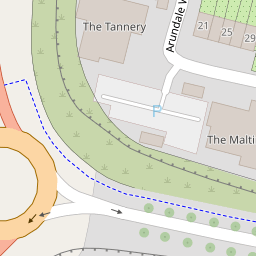
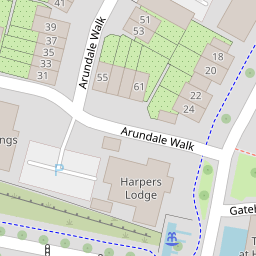

Leaflet © OpenStreetMap contributors
The heatmap indicates the level of crime in the area. The color of the heatmap indicates the crime severity and recency.
Metrics Year-on-Year
- Average area value
- 316,450.00 £Decreased by 20.35 %
- Average area rental value
- 1,363.00 £/moDecreased by 1.73 %
- Est rental Yield
- 5.17 %Increased by 23.39 %
- Crime Rate
- 11.00 %Unchanged by 0.00 %
from 397,294.00 £
from 1,387.00 £/mo
from 4.19 %
from 11.00 %
Nearby Schools
| Name | Type | Ofsted | Distance |
|---|---|---|---|
| Tanbridge House School | Community School | Outstanding | 0.60 KM |
| Shelley Primary School | Community School | Good | 0.86 KM |
| Arunside School, Horsham | Community School | Good | 1.54 KM |
| St John'S Catholic Primary School | Voluntary Aided School | Good | 1.54 KM |
| Rural Henfield Children And Family Centre | Children's Centre | 1.64 KM |
Images
Nearby Streets
| Name | Average Price | Average Sqft | Distance |
|---|---|---|---|
| A264 | £ 0 | 0 | 0.00 KM |
| Cleves Mews | £ 518,300 | 0 | 0.00 KM |
| Morton Avenue | £ 550,000 | 0 | 0.00 KM |
| Thorpe Way | £ 875,000 | 0 | 0.00 KM |
| Lassels lane | £ 0 | 0 | 0.00 KM |
Nearby Transport
| Name | NLC | TLC | Distance |
|---|---|---|---|
| Christs Hospital | 5319 | CHH | 1.54 KM |
| Horsham | 5309 | HRH | 4.07 KM |
| Warnham | 5316 | WNH | 4.50 KM |
| Littlehaven | 5498 | LVN | 5.64 KM |
Nearby Listings
| Address | Price | Type | Score | Distance |
|---|---|---|---|---|
| Arundale Walk, Horsham | £ 375,000 | BUY | 7 / 10 | 0.00 KM |
| Arundale Walk, Horsham, RH12 | £ 395,000 | BUY | Unknown | 0.04 KM |
| Arundale Walk, Horsham, RH12 | £ 245,000 | BUY | 6 / 10 | 0.05 KM |
| The Maltings, Horsham | £ 230,000 | BUY | 6 / 10 | 0.06 KM |
| Arundale Walk, Horsham | £ 375,000 | BUY | 7 / 10 | 0.06 KM |
Nearby Properties
| Address | Price | Distance |
|---|---|---|
| 18 | £ 295,000 | 0.00 KM |
| 2 Highwood Crescent | £ 725,000 | 0.09 KM |
| 30 Highwood Crescent | £ 425,000 | 0.09 KM |
| 12 Highwood Crescent | £ 595,000 | 0.09 KM |
| 6 Highwood Crescent | £ 570,000 | 0.09 KM |